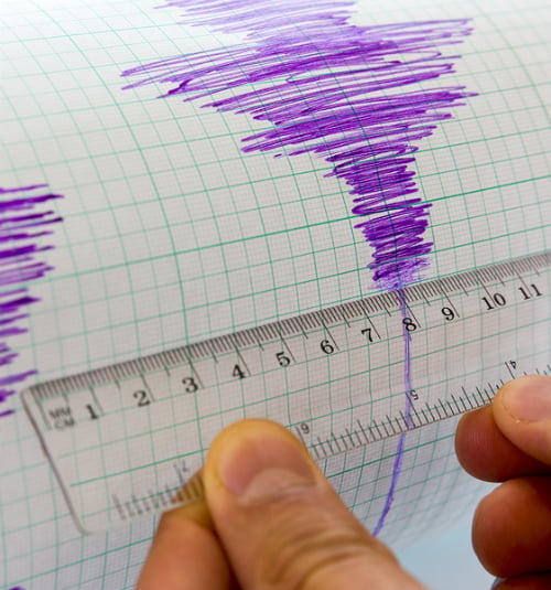
This Thursday, a 7.0 magnitude earthquake shook Ferndale, California, according to the United States Geological Survey (USGS).
According to the USGS, the powerful earthquake had its epicenter 99 kilometers west-southwest of Ferndale, at a depth of 10 kilometers.
Following the earthquake, at 10:44 AM, authorities issued a tsunami warning for the coastal areas of California and Oregon.
This is how the 7.0 earthquake in California was experienced
The earthquake was felt as far as San Francisco, followed by several aftershocks of lower intensity. California has at least 5.3 million residents.
Since when is our pool a wave pool omg this is crazy. It’s still rolling 10 min later there’s apparently a 6.0 near the coast 😬 #earthquake #california pic.twitter.com/4jXnbgq468
— Sultana🏴☠🍋 (@anatlus89) December 5, 2024
Residents of the state received an alert directly to their phones warning about a series of powerful waves and intense tides that could impact nearby areas and urging them to stay away from bodies of water.
SEE ALSO It’s official! McDonald’s will bring back the Snack Wrap in 2025
Aftershocks of the California Earthquake
Several aftershocks occurred following the earthquake. One of them had a magnitude of 5.8 and took place just four minutes after the main earthquake. Its epicenter was located 9 km northwest of Cobb.
At 11:02 AM (GMT-8), another tremor of magnitude 3.3 occurred 32 km west of Ferndale. At 11:05 AM (GMT-8), a 3.7 magnitude earthquake occurred 11 km northwest of Petrolia. Five minutes later, another tremor of magnitude 4.2 occurred 52 km northwest of this town.
Where is Ferndale?
Ferndale is a small town located in Humboldt County along the coast, near the Oregon border.
Why do earthquakes occur in the United States?
The United States is located in the Pacific Ring of Fire, a region that accounts for 90% of the world’s seismic activity. In this zone, frequent frictions between tectonic plates and geological faults trigger earthquakes.
In the United States, the interaction between the North American plate and the Pacific plate is the main cause of these seismic events.
What is a tsunami warning?
Tsunami warnings indicate that a tsunami is expected or is already occurring, with a high likelihood of causing significant flooding. It is crucial to evacuate areas under alert.
These warnings signal the potential for dangerous and widespread coastal flooding, accompanied by powerful currents that could persist for hours after the initial wave.
Why does an earthquake occur?
An earthquake is a sudden movement of the Earth caused by the rapid release of energy within it. The most common cause is the movement of tectonic plates, especially common in fault zones where plates collide or slide past each other.
This friction generates immense tension between the plates, which, when released, causes massive vibrations known as seismic waves. These waves travel through the rock and towards the surface.
What are the strongest earthquakes in U.S. history?
Here are some of the strongest earthquakes recorded in the United States:
- Alaska Earthquake (1964): occurred on March 27, 1964, and had a magnitude of 9.2.
- San Francisco Earthquake (1906): occurred on April 18, 1906, and had a magnitude of 7.9.
- Charleston Earthquake (1886): took place on August 31, 1886, with a magnitude of 7.3.
- Long Beach Earthquake (1933): occurred on March 10, 1933, and had a magnitude of 6.4.
- Loma Prieta Earthquake (1989): occurred on October 17, 1989, and had a magnitude of 6.9.


